In December 2013, parts of the UK experienced the biggest storm surge in 60 years. The East Anglian coastline was one of the hardest hit. Many may remember photos of houses falling into the sea.

Since then Researchers from the Centre for Environment, Fisheries & Aquaculture Science (Cefas) and the University of East Anglia (UEA) have been mapping selected areas of the East Anglian coastline that were hit by the surge on 5 December 2013.
Aerial photos from their research have revealed details of breaches to the natural and man-made coastal defences on part of the East Anglian coastline. The photos were taken 12 months after the storm surge struck, and indicate long term changes made to parts of England’s eastern coastline by the surge.
Storm Surge Photos – 1 year On
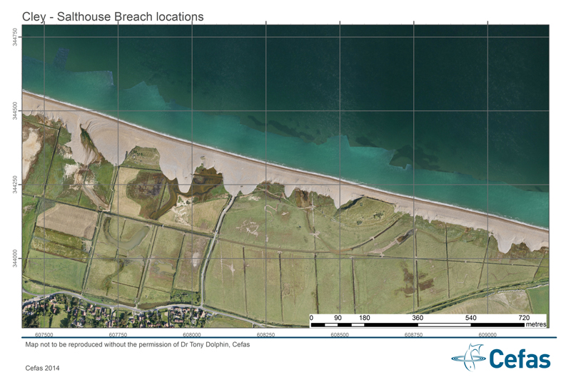
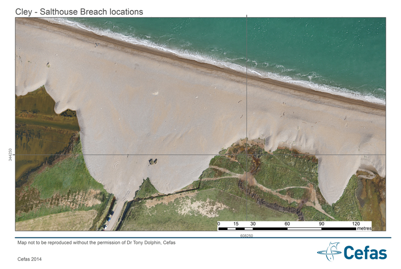
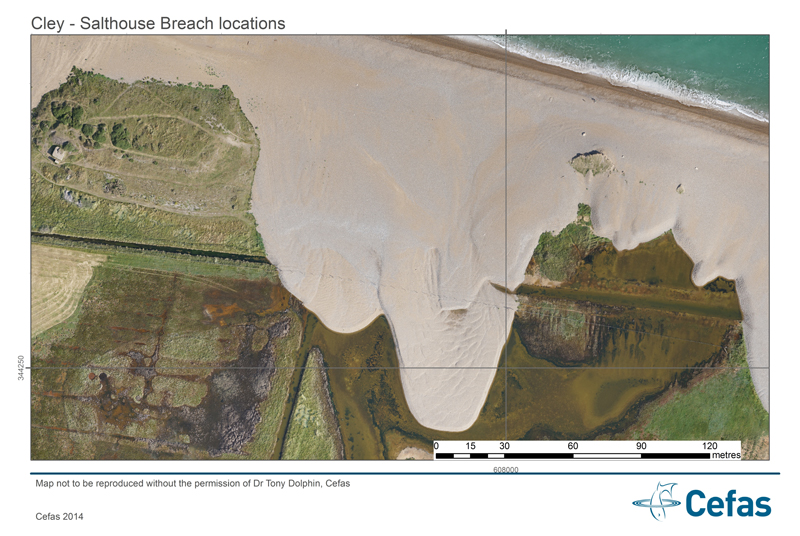
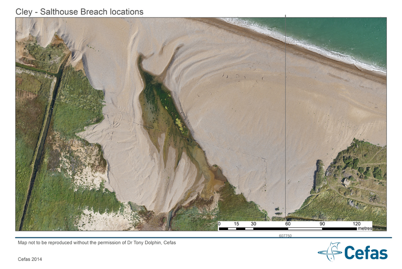
Photo credits: Dr Tony Dolphin, Cefas. Used with permission
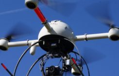
The Cefas aerial mapping team, led by Dr Tony Dolphin, used their small Remote Piloted Aircraft to build very high resolution photo and topographic maps of parts of the North Norfolk coastline. These maps chart the storm surge breaches in the man-made coastal defences along the North Norfolk Coastal Path near Blakeney and breaches and sediment movement along the Cley – Salthouse gravel barrier.
Sediment was transported inland over 100 meters, in places infilling protected saline lagoon habitats. The photos also provide a post-surge baseline of the condition of the freshwater marshes and saline lagoons at the National Trust’s Blakeney Freshes and Norfolk Wildlife Trust’s Cley Marshes and are proof of concept for an innovative research approach that will enable the cost-effective mapping of the impacts of future extreme events.
Tony Dolphin, Coastal Scientist and RPA pilot at Cefas, said: “The RPA technique is ideal for mapping the physical breaches and sediment movement, as well as the impact on vegetation and habitats caused by the storm surge. Compared to traditional aerial photography, the RPA can be rapidly deployed following extreme events and provides higher resolution map products.
“Using these images we should, for the first time, be able to calculate the amounts of sediment that move in these surges, the distances they move in a few hours, and possibly even the direction and velocity of the flows. Coastal managers need this information to better understand why certain areas might be vulnerable to flooding and how to mitigate the effects.
“While data is still being processed and the projects findings won’t be published until later in 2015, the effects of the surge are already becoming clearer. Evaluation of the images continues alongside periodic sampling providing time series data which will allow researchers to assess the resilience of the coastal zone to flooding and salt water ingress.
“In addition to mapping and analysis of the storm surge, Cefas are using the RPA technique on a large range of coastal applications, including salt marsh and river bank erosion, flood defence monitoring, beach monitoring and intertidal habitat mapping.”
Cefas’ high resolution aerial datasets form part of a wider project aiming to assess the short term effects of the surge, which will provide the basis for future work assessing longer term impacts. Other data from the project indicate soil and freshwater invertebrates were killed by the saltwater flooding, however, plants living along the coast were more resilient. The functioning of soil microbes that are vital for maintaining a healthy habitat were also impacted.
Dr Tolhurst said: “There is a challenge in translating scientific knowledge into real-world decision-making. This project is engaging with local communities and coastal managers in North Norfolk and bodies such as the Environment Agency to better inform decision making.”
“The resulting strategies will, we hope, benefit the entire coastline of the country, its habitats and those living close to it, in the future. But this is just the first step and longer-term work is required to determine how the coastal environment and local populace recover from such extreme events.”