Vietnam’s disaster management agency said yesterday that 30 people have now died in floods that have been affecting the areas of the north of the Vietnam since 27 July 2015.
Deaths have also been reported in the provinces of Bac Giang (3), Cao Bang (3), Lang Son (2), Lai Chau (2), and one each in Son La, Yen Bai and Thanh Hoa. Over 40 people have been injured.
Vietnam officials said that floods, landslides and heavy rain have destroyed 112 houses, and left over 3,500 damaged or submerged. Around 15,000 hectares of crops, mostly rice fields, has also been damaged.
Vietnam’s National Centre for Hydro-Meteorological Forecasting said that further rainfall was expected in northern areas, although this should be lighter than the last 2 weeks.
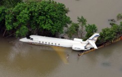
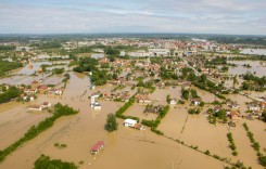
File photo – Floods in Vietnam. Photo: MONRE Vietnam
Maps of Flood Affected Areas
The Operational Satellite Applications Programme (UNOSAT), part of the United Nations Institute for Training and Research (UNITAR), have produced 2 maps of the flooded areas of northern Vietnam.
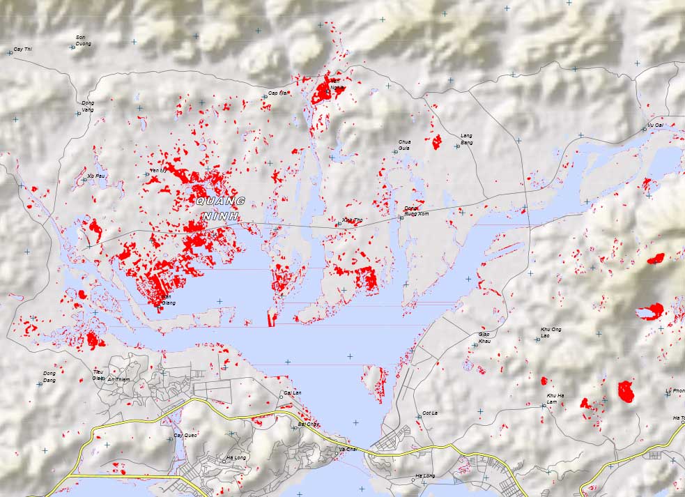
This map gives an overview of satellite detected waters (in red) near Ha Long City in Quang Ninh Province, northern Vietnam. Due to continuous rain, there is a notable increase in inundated areas north of Ha Long Bay, a UNESCO World Heritage Site. In the analyzed area, approximately 300 hectares of land have been classified as flood affected, mainly agricultural fields as well as mining areas east of the town of Ha Long. This is a preliminary analysis and has not yet been validated in the field. Source: and Image credit: UNITAR-UNOSAT
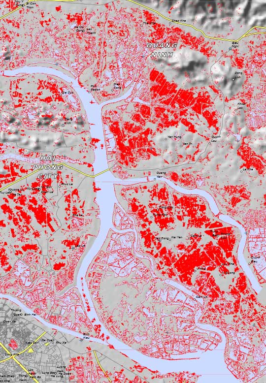
This map gives an overview of satellite detected waters (shown in red) in Song Lach Tray delta near Hai Phong City in northern Vietnam. Due to continuous rain, there is a notable increase in inundated fields along the coast in Hai Phong and Quang Ninh Provinces. In the analyzed area, approximately 30,000 hectares of land has been classified as flood affected. Many identified flooded regions are in close proximity to Ha Long Bay in Gulf of Tonkin, a UNESCO World Heritage Site. This is a preliminary analysis and has not yet been validated in the field. source and Image credit: UNITAR-UNOSAT.
See the original maps from UNOSAT, with full details, at the UNITAR website here.