UK – Plans to Monitor Flood Risk Across England Using 3-D Laser Maps
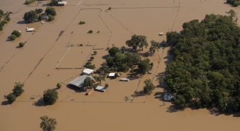
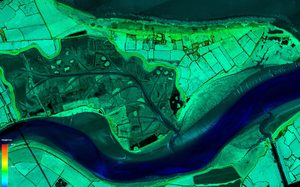
The Environment Agency has announced plans to map England’s entire landscape by 2020, using the data to assess flood risk and inform conservation work. Using aircraft equipped with laser scanners,…