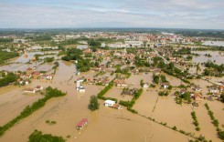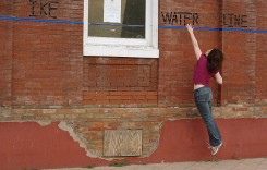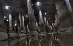
I have written about “making room for the river” on a few occasions. It is a flood defence policy – or rather more of a philosophy and way of thinking – that proves to be quite simple in its outlook, but decisive in practice.
Room for the River is a fundamental part of flood defence in the Netherlands. As the name suggest, it means that flood planning should involve leaving room for rivers, rather than walling them in. There comes a time when we must realise that we can’t simply carry on building higher and higher flood walls. Saxony in Germany tried this, and in effect put its neighbouring German states at greater risk.
So space needs to be set aside for rivers to flood. If high water can be drained off in designated areas, away from built up areas, then the chaos and suffering brought by floods in towns and cities will be avoided.
After Germany suffered from disastrous flooding for the second time in 12 years, the German Environment Minister Peter Altmaier said:
River terraces must be reclaimed as temporary overflow storage sites to prevent rivers peaking at dramatic levels….Dikes must be set back further from waterways, larger flood terraces must be designated, and, as a last recourse, expropriation of riverside homes and premises could not be excluded.
In other words, we must make room for the river. And it looks like this way of thinking is now on the minds of flood planners in the USA, and in particular New Orleans.
New Orleans has suffered more than its fair share of flooding in recent years, most notably after storms and hurricanes such as Katrina, although flooding simply from heavy rainfall is also very common. Recently the Greater New Orleans Urban Water Plan was announced, under the banner “Living with Water”. The plan sets out what the problems facing New Orleans:
Greater New Orleans relies on forced drainage systems to keep dry. This single-purpose approach to storm water is resource-intensive, yet streets still flood regularly. This approach is also the primary cause of subsidence in the region, and diminishes the value of the area’s waterways and water bodies as public assets.
The current drainage system in the city is often overwhelmed, no matter how modern and efficient the pumps, pipes and catch basins are. The drainage system in New Orleans has the capacity to deal with 1 inch (2.5cm) of rain during the first hour of a storm, and after that just ½ inch per hour. The solution proposed by the Greater New Orleans Urban Water Plan is to make room for the river. Spaces serving as parks and recreational areas normally would serve as floodplains during any flood events.
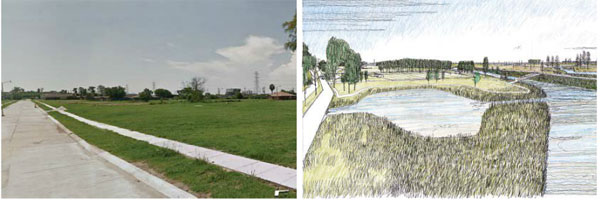
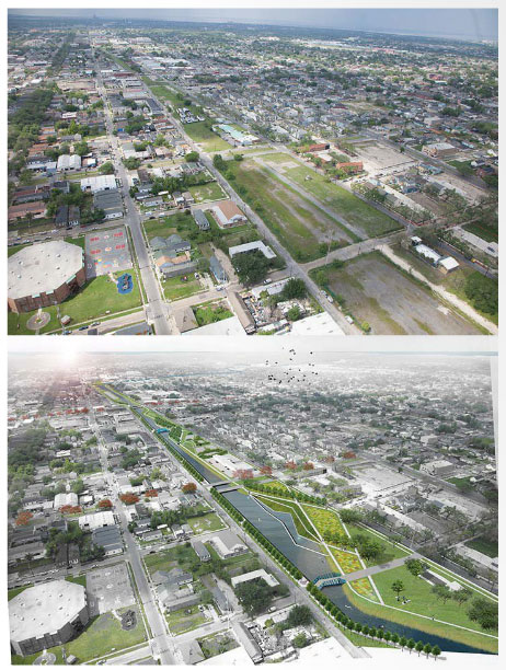
The plan also includes the introduction of rain gardens and bioswales (sloped areas designed to catch silt and debris from run off water). In other words, the plan acknowledges the problem of over-developed and concreted areas in causing or exacerbating floods. A rain or water garden such as the Mirabeau garden shown below, will be able to absorb more flood water than a car park. Which means flood water could be prevented from reaching residential and business areas.
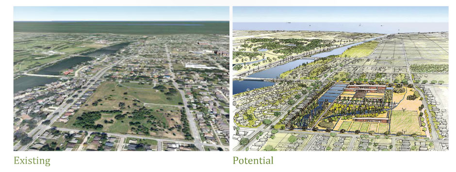
Bioswales will help keep drainage systems and canals free of debris and therefore help prevent blockages, as well as regulate the flow of flood water. Introducing canals and ponds are also part of the project in efforts to make the water system flow all year round, and so maintain the stability of soils and lessen the risk of subsidence.
It won’t be a surprise to find that Dutch engineers and architects have played a central role in developing the plan. It encompasses many parts of the “Room for the River” philosophy so prevalent in the Netherlands. The New Orlenas plan website goes on to say:
Addressing today’s water and soil management challenges requires a new paradigm in which stormwater and groundwater are managed as valuable resources rather than as nuisances.
The Living With Water plan isn’t a solution to the disasters of hurricanes such as Katrina. It is more a way of New Orleans being able to deal with the regular flood events, reduce flood damage and prevent ground subsiding further – described as human-induced sinking of the land in the report – at a time of sea level rises.
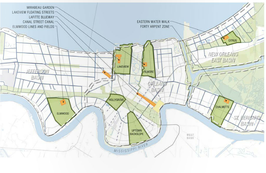
Chief architect of the plan is David Waggonner, of Waggoner and Ball Architects. He said the plan for New Orleans in long-term in its outlook, and was looking as far as 2050 for a completion date. The plan will have 6 initial projects to start, as shown below.
Sources: Grist; Nola; Think Progress; Waggoner and Ball Architects
Photos courtesey of the Living with Water report.