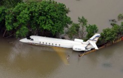
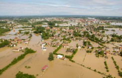
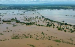
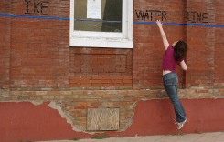
Snowmelt in the province of Alberta, Canada, has caused overland flooding and increased river levels over the last few days. Evacuations have been carried out in areas near Drumheller.
The government of Alberta said on 25 April, 2018, that as many as 17 municipalities and First Nations across the province have recently issued overland flooding alerts.
The community of Wayne in Drumheller is on a mandatory evacuation notice as a result of high levels of the Rosebud River.
A number of provincial and municipal roads have been affected across the province as a result of flooding.
Flood watches (mid-level warnings) are in effect for Kneehills, Lasthill and Threehills creeks, as well as the Rosebud, Little Red Deer and Medicine rivers.
A 17 km long ice jam prompted authorities to issue a warning (top level) for the Peace River east of Manning, in the vicinity of Sunny Valley and Kulyna Flats. Flooding has affected some low-lying lands and authorities have warned that river levels could change quickly and dramatically.
The Government of Alberta said it is supporting their response efforts through community liaisons and by providing provincially held resources, such as pumps and piping, when requested.
Areas that have issued flood alerts:
As of 25 April there were 17 municipalities, First Nations and communities that had issued alerts via the Alberta Emergency Alerts system:
Red Deer County
MD of Taber
Town of Beiseker
Wheatland County
Village of Rycroft
Saddle Lake County
Town of Drumheller
Birch Hills County
MD of Smoky River
Kneehill County
MD of Greenview
Forty Mile County
Siksika Nation
MD of Fairview
Village of Stirling
Rocky View County
Vulcan County
Featured photo: File photo, illustration only. Ice jam, Canada. Photo: Malcolm / Flickr under CC BY-NC 2.0


