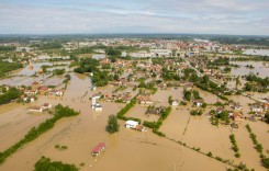
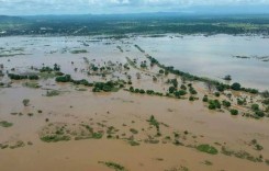
After the recent heatwave across much of the United Kingdom, storms and flash floods have been forecast for many areas. So far there have been some reports of flash floods in the East and West Midlands, notably parts of Birmingham, Nottinghamshire, Derbyshire and Leicestershire. Elsewhere in UK some railway services have been affected.

Photo courtesy of Facebook
The Guardian Newspaper reported today:
Thunder, lightning and hail began overnight and were expected to last intermittently throughout Tuesday and Wednesday, coupled with torrential rain and the risk of flash floods.
The storms are predicted to continue over the Midlands as well as eastern, central, northern and southern parts of England, with the east Midlands, London and Kent seeing the worst of the weather.
The UK’s Environment Agency has a flood warning system here. Currently (as of 9am 23rd July) there is only one flood warning: a middle level status flood warning for the Fens, an area north of the city of Cambridge and south of Peterborough.
For anyone wanting to check further on flood warnings in UK, also see the the flood map by Shoothill here. It shows all up to date flood warnings and allows you to search for flood updates for your postcode.
For anyone in UK who needs to drive during the potential floods, see the AA (a British motoring association) information and guidance on driving in heavy rain and floods here.