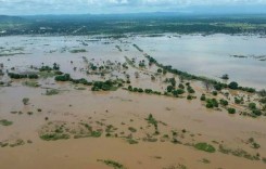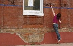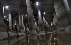
One of the most crucial aspects in flood prevention and management is knowing exactly when the incident will occur. In the past, predictive data has been good, but not good enough. Meteorologists need exact, unlimited and comprehensive information in order to accurately predict extreme weather conditions for the coming weeks. Not only do they need above-ground information, it’s also helpful to know what’s going on under their feet.
Scientists in Denmark have been working to establish a system to extract underground data, which will enhance existing models, enabling meteorologists to predict extreme floods up to two days in advance.
“In the future we will need systems like this, as the world is warmer and wetter, and rivers are fuller,” says hydrologist and co-author Hans Jørgen Henriksen.
This new system was proposed to 25,000 scientists in San Francisco at the biggest natural science conference – the American Geophysical Union.
The model is in test stages at present. Researchers are testing it with information from previous incidents of flooding to see how successful it is in accurate predictions. The data is taken from all over Denmark and assesses how much water is underground (in rivers, in the water table, and in the soil) at any given time.
When it is finally executed using real-time information, scientists will receive updates once an hour. This will predict weather conditions for the following 48 hours, which forecasters can then use to give more accurate readings.
The advantage of adding underground data to existing information is that flooding happens even when there hasn’t been much rain. Co-author Simon Stisen said:
“After a long period of moderate rain, the system [soil and water table] is filled to the water-holding capacity, and just a small rain event, maybe 20 millimetres of rain, can lead to a flood, but under different hydrological conditions, where there’s not as much water already in the system, this same rain event might not have any effect at all, and so this is the real strength of the model.”
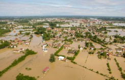
Developers of the new model refer to the flash floods in Holstebro, Denmark, during December 2015.
“I’m quite sure that if they’d had our model running, with better real time knowledge about the abnormal wet situation of the water cycle in the catchment, including soil moisture, groundwater levels, and [rainfall], then they’d have been better prepared,” said Hans Jørgen Henriksen.
Ground water information is crucial not only in Denmark. This model would be useful on a global scale, and could be used in Australia and other countries in Europe.
However, it will take 4 to 5 years for the system to be ready, and will only be rolled out if they receive funding to launch it as a combined weather and groundwater programme. The team are currently working on raising the money to do so.