Dredging has commenced in the River Parrett as part of Somerset Levels and Moors Flood Action Plan.
The UK Environment Agency has announced that dredging of a 200m (220 yard) stretch of the River Parrett that commenced on 31 March 2014 is a preliminary step in implementation of the ‘Somerset Levels and Moors Flood Action Plan’. The next phase will consist of dredging of an 8km (5mi) stretch near the confluence of the Tone and Parrett rivers at Burrowbridge.
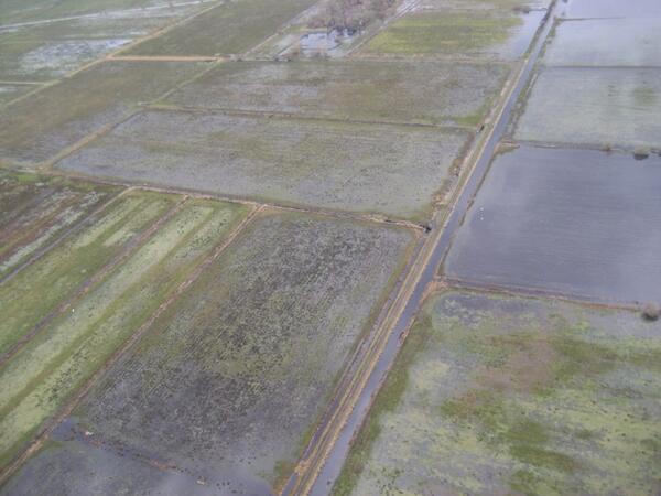
According to the Environment Agency website, de-silting work was carried out on targeted points on the Rivers Parrett and Tone in November 2013, but that the effectiveness of dredging on flood reduction varies from river to river. The website further states that flood risk management assets protected more than 200 square kilometres (77 square miles) of land and 3,500 properties on the Somerset levels – including in the towns of Langport, Martock, Ilchester and Ham.
Dredging could only commence after floodwaters had subsided sufficiently, a situation brought about in part by the operation of 65 pumps pumping water out of the Levels.
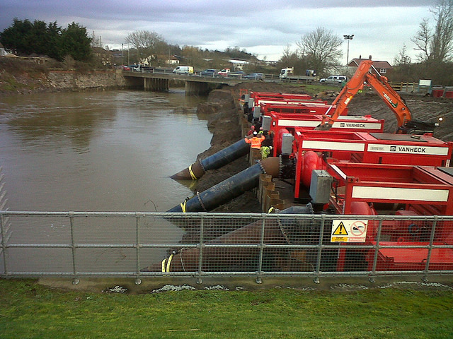

The Environment Agency will use some of the material removed by dredging for flood bank repairs and construction to further improve the flood resilience of the area.

The Somerset Levels and Moors Flood Action Plan is a 20-year, £100m (US$166.4m) project which includes dredging parts of the Tone & Parrett rivers, making some temporary flood defences and pumping sites permanent and ensuring that new developments meet the highest standards for water and drainage. The commencement of the project was made possible by the application of an additional £10m (US$16.6m) in government funding as announced by the Prime Minister, David Cameron, in February this year.
‘It is vital that our flood-hit communities know this activity is taking place to give them some reassurance, but dredging is only part of the solution. The Somerset Moors and Levels Flood Action Plan is key to reducing the risk of flooding in the future and we will work hard to win the funding necessary to deliver it’, said Councillor John Osman, leader of Somerset County Council.
Dredging the River Parrett begins, 8km stretch, 6-7 months, £5m. #somersetlevels pic.twitter.com/TCTezSpuke
Footage of the dredging from the air:
Sources: Environment Agency; UK Government