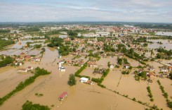
As I reported earlier today, the north east Indian states of Andhra Pradesh and Odisha are bracing themselves for the full force of Cyclone Phailin. Forecasts say that the cyclone will make landfall in around 48 hours, most likely somewhere on the coast of Odisha (Orissa). The cyclone is believed to be a category 3 or even category 4 storm and the trajectory of the cyclone is likely to have a severe impact not only on the two coastal states, but also further inland, including eastern Chhattisgarh, Jharkhand, and even as far inland as Bihar.
Cyclone Phailin is likely to bring with it not only gale force winds, but coastal tidal flooding and heavy rainfall, resulting in floods inland. Flooding could potentially start some time tomorrow, most likely affecting the city of Brahmapur, with a population of over 350,000, but also affecting the state capital of Odisha, Bhubaneswar (Bhubaneshwar), a city of over 600,000.
Below is a series of maps of the area of India likely to be affected. The maps are from Metcon (Meteorological Connections) and show the flood potential across the region over the next few days. Click on each map to see a larger view.


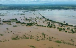
As show in the maps, some of the most serious flooding could potentially occur in the state of Bihar, which is some way north of where the cyclone is expected to hit, and even Nepal. It seems Bihar suffers from almost endless flooding, most often as a result of rainfall and from the mountainous region to its north, often swelling many of the state’s 8 major rivers, including the Ganges at Patna. At least 170 people have died as a result of flooding in Bihar in 2013 alone.